Heavy Rain & Snowfall Alert in J&K: IMD Issues Weather Advisory
Srinagar, Oct 2: The India Meteorological Department (IMD), Srinagar, has issued a fresh weather advisory for Jammu and Kashmir, warning of a strong western disturbance that is likely to hit the Union Territory from October 4 onwards. According to the advisory, this weather system may bring widespread rain, snowfall, thunderstorms, and strong winds in many areas.
The impact of this disturbance will be felt most strongly between the night of October 5 and the morning of October 7. Officials have urged people, especially travelers and farmers, to stay cautious during this period.
Heavy Snowfall in Higher Reaches
The IMD has predicted moderate to heavy snowfall in several higher reaches, including:


- Anantnag–Pahalgam
- Kulgam
- Sinthan Pass
- Shopian–Pir Ki Gali
- Sonamarg–Zojila
- Bandipora–Razdan Pass
- Gulmarg
- Kupwara–Sadhna Pass
Meanwhile, middle reaches may also receive light snow, which could affect local roads and cause disruptions.
Heavy Rains Expected in Jammu Plains
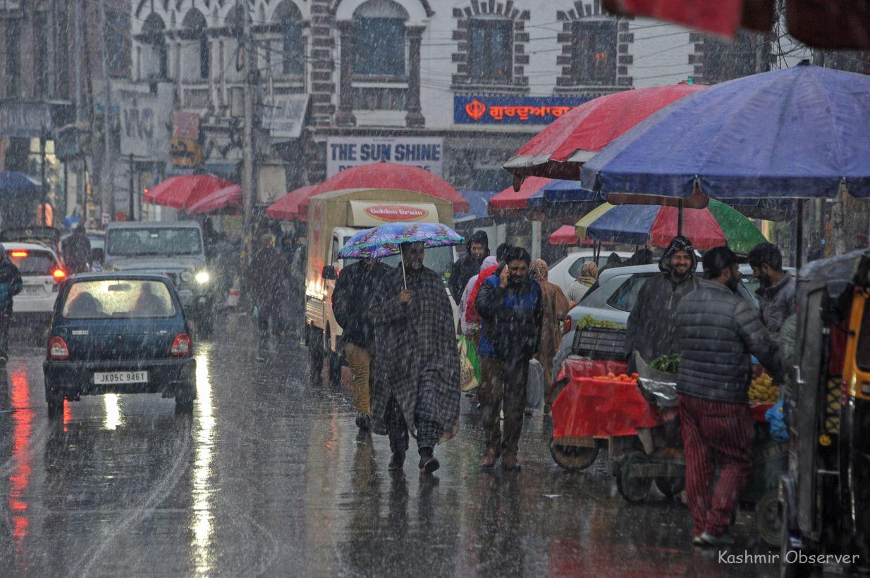
The plains of Kashmir are expected to witness moderate to heavy rainfall, while parts of the Jammu division could see isolated heavy to very heavy rainfall, accompanied by thunderstorms, lightning, and hailstorms. The IMD has warned of strong winds reaching 40–50 kmph, gusting up to 60–70 kmph.
Possible Impacts
The IMD has outlined several possible risks due to this weather system:
- Travel Disruptions: Roads, including the Jammu–Srinagar National Highway and Srinagar–Leh Highway, may face closures due to snow, landslides, and shooting stones.
- Landslides & Mudslides: Vulnerable areas are likely to see landslides and mudslides.
- Farm Operations Halted: Farmers have been advised to suspend all agricultural activities between October 5–7.
- Waterlogging: Heavy rains may cause waterlogging in low-lying areas and a rise in water levels of rivers and streams.
- Thunderstorms & Winds: People are advised to stay indoors during lightning and gusty winds to avoid accidents.
Authorities on Alert
The advisory has been shared with divisional administrations of Kashmir and Jammu for necessary preparations. Disaster management teams and road clearance agencies are expected to remain on standby in case of emergencies.
FAQs on IMD Weather Advisory for J&K (Oct 5–7, 2025)
Q1: When will the bad weather start in J&K?
The western disturbance is expected to affect J&K from October 4, with peak activity between the night of October 5 and the morning of October 7.
Q2: Which areas are likely to see snowfall?
Higher reaches like Pahalgam, Sonamarg, Gulmarg, Sinthan Pass, Zojila, Razdan Pass, and Sadhna Pass may see moderate to heavy snowfall.
Q3: Will Jammu plains also be affected?
Yes. The Jammu division plains may witness heavy to very heavy rainfall, along with thunderstorms, lightning, and strong winds.
Q4: Can travel be disrupted?
Yes. Highways including the Jammu–Srinagar NH44 and Srinagar–Leh Highway may face landslides, shooting stones, and traffic disruptions.
Q5: What should farmers do during this period?
Farmers have been advised by IMD to suspend all farm operations between October 5–7 to prevent damage.
Q6: What risks are there for common people?
Risks include waterlogging in low-lying areas, road blockages, power disruptions, and accidents due to thunderstorms and winds.
Q7: What precautions should travelers take?
Travelers are advised to avoid unnecessary journeys during peak weather activity, especially on mountain passes and highways.
Q8: Is this unusual for October in Kashmir?
No. Western disturbances are common during October in J&K, but this one is considered moderately strong, which could cause wider disruption.