Very Heavy Snowfall Expected in Kashmir, Check Detailed Weather Update
Very Heavy Snowfall Expected in Kashmir, Check Detailed Weather Update
Srinagar, 12 January 2026: Jammu and Kashmir may witness its first major snowfall of the season as a strong Western Disturbance is expected to affect the region between January 20 and January 25, according to Kashmir Weather Forecast.
Weather observers say this upcoming system could bring widespread snowfall across both plains and higher reaches, marking a significant shift in the winter pattern.
Meteorological trends suggest that a series of Western Disturbances will move across the region from January 16 onwards, with two to three systems likely during this period. While most of these are expected to be weak to moderate, a strong weather system is projected to develop between January 20 and 25, capable of delivering heavy precipitation in the form of snow across large parts of Jammu and Kashmir.
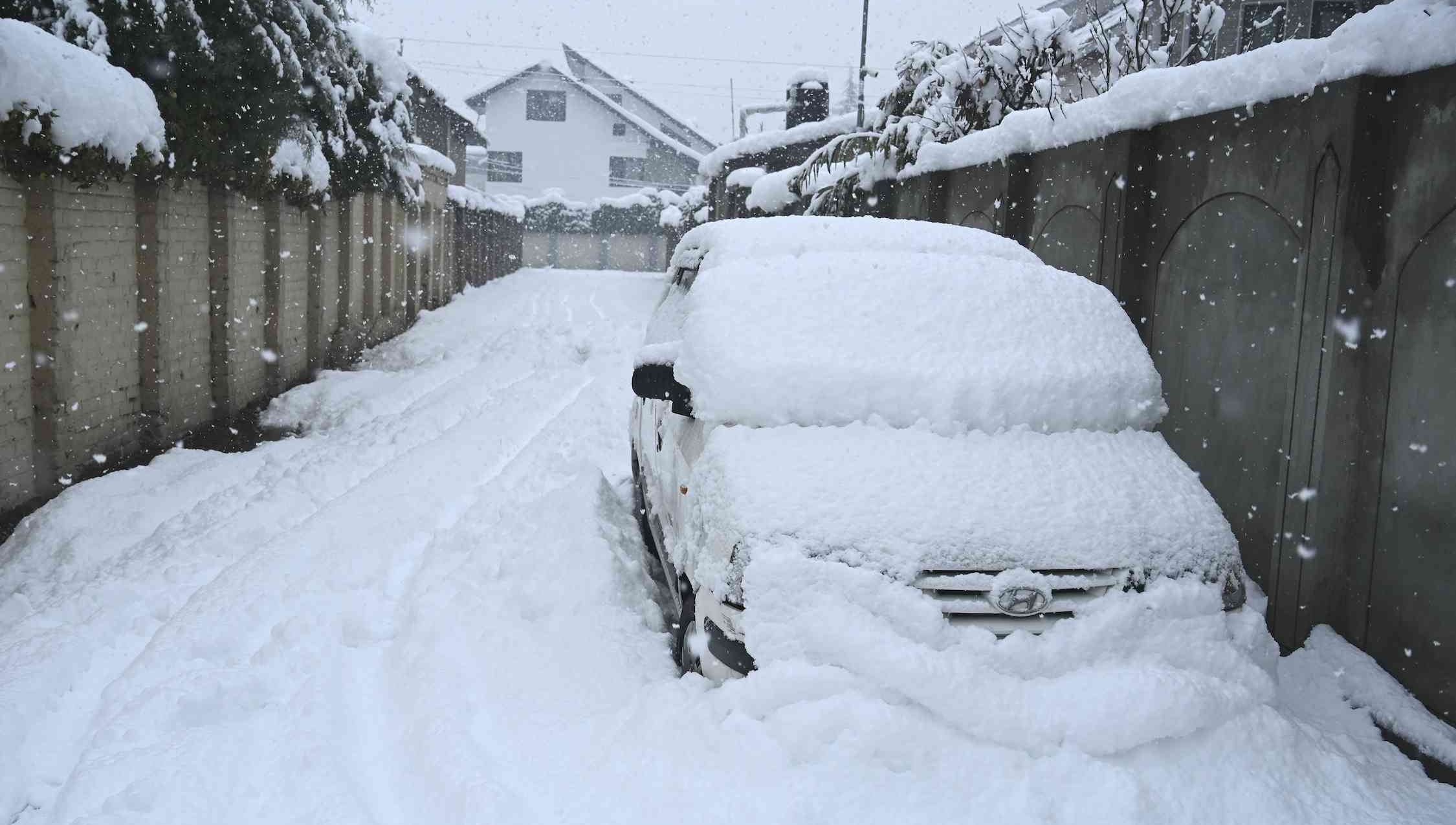
Weather experts have indicated that Kashmir plains also have nearly a 70 percent chance of snowfall during this phase. This means areas including Srinagar, Budgam, Baramulla, Anantnag and Pulwama could see snowfall, which would be a major relief after prolonged dry winter conditions.
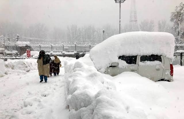
The higher reaches are likely to be the most affected. Popular tourist destinations and mountainous areas such as Gulmarg, Sonamarg, Doodhpathri and Pahalgam are expected to witness heavy to very heavy snowfall during this period. Accumulation in these regions could be significant, raising the possibility of road closures, travel disruptions, and avalanche risk in vulnerable zones.
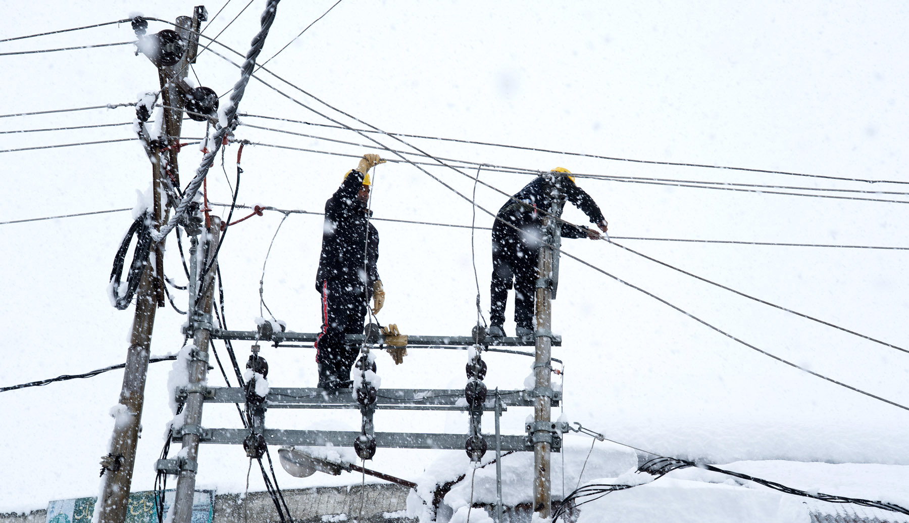
Weather observers say that this weather pattern could also lead to a sharp drop in temperatures following the snowfall, intensifying the cold wave across the Valley. Power supply, transportation, and daily life may be impacted if heavy snowfall materializes as predicted.
Kashmir Weather Forecast has advised people, especially travelers, farmers, and those living in higher altitude areas, to stay prepared and keep track of official advisories. A clearer picture will emerge in the coming days as the Western Disturbance moves closer to the region.
More detailed and refined forecasts are expected to be issued soon as the system approaches and its strength becomes clearer.


